
Who is the tool for?

• Citizens
Type of solution

• Software-based
Objective

• Social development
Maturity level
• Ready to adapt & replicate
Why is it used?
- Potential users and clients — particularly citizens or tourists with disabilities, as well as elderly people and families with prams — want to access realistic and objective information remotely about the accessibility of facilities.
- A small- to medium-sized city aims to provide citizens and tourists with user-friendly accessibility information that presents routes and facility accessibility step by step from the user’s perspective.
How is the tool used by the recipient?
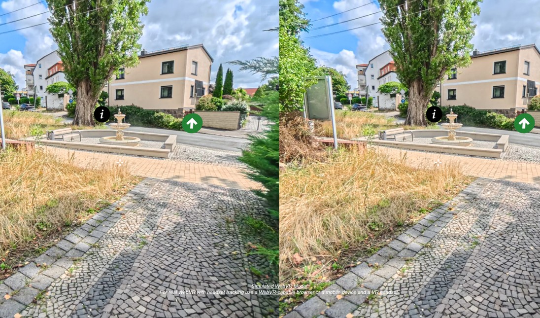
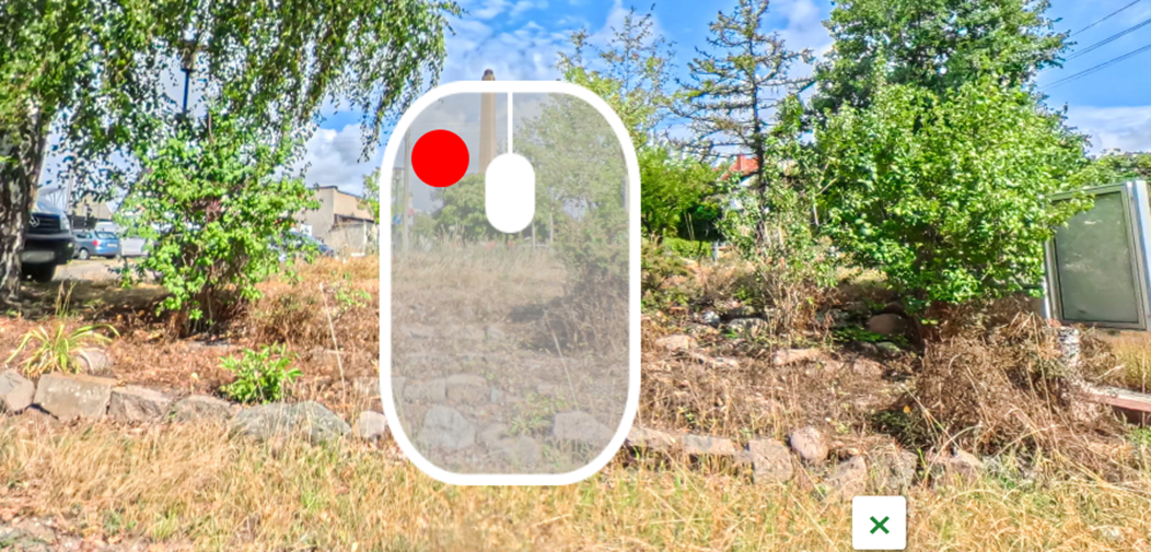
The interactive 3D tool allows recipients to virtually explore streets and routes from a first-person perspective, with important information displayed about recommended accessible paths to a location.
Which problem is solved?
Addressing the lack of user-centred, step-by-step information on access routes and facility accessibility.
Links to more information
Direct access to the developed 3D tours is available at the following links:
- 3D tour Merano: https://cms4vr.independent.it/hotels/sucolo-meran
- 3D tour Leipzig: https://cms4vr.independent.it/hotels/sucolo-leipzig
- Background on the development on the tours: Deliverable 4.2“
The 3D tours were realised with a licensed software
Which partners developed the tool?
Independent L. Soc. Coop. ONLUS – Merano (BZ – Italy) with software fee licence
How was the tool developed
- On-site recordings using a specialized 3D camera
- Photo editing and creation of the 3D tour with appropriate software (CMS4VR)
- Implementation of user-oriented information and translation of the added content
- Online publication of the 3D tour on the designated website